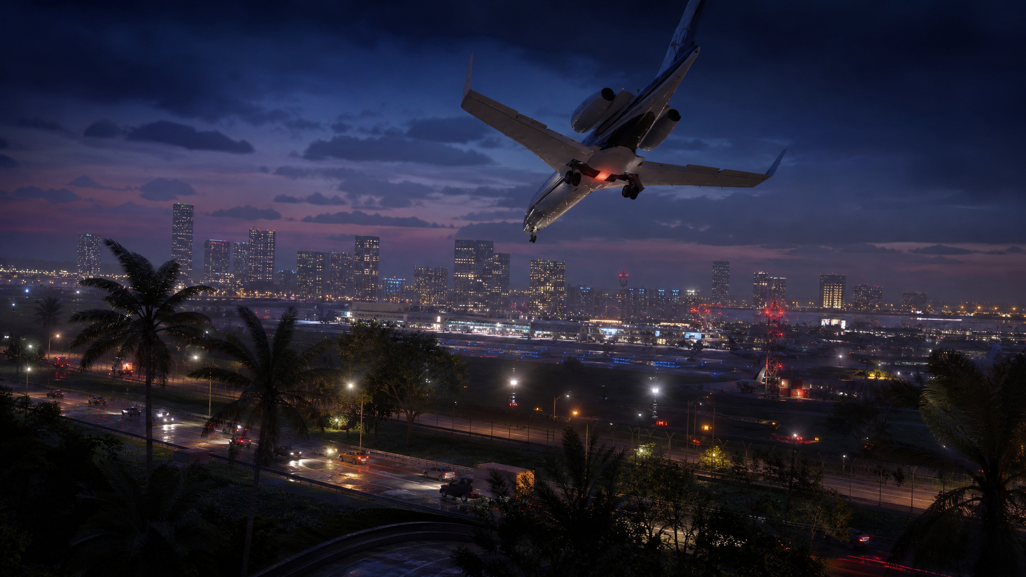
Rockstar has shown only a handful of trailers and screenshots for Grand Theft Auto 6, but a sprawling community of cartographers has spent the wait reconstructing Vice City and the rest of Leonida frame by frame. The result is a fan-built atlas that keeps getting denser with every new asset Rockstar drops, and it now includes a navigable 3D version you can fly over in a browser.
What the fan mapping project actually is
The effort started on GTAForums back in September 2022, when longtime contributor Fido_le_muet opened a thread dedicated to identifying every Miami and Florida landmark recreated in GTA 6 footage. The same crew had previously mapped Los Santos from GTA 5 trailers years before launch, and that earlier reconstruction turned out to be remarkably close to the final game.
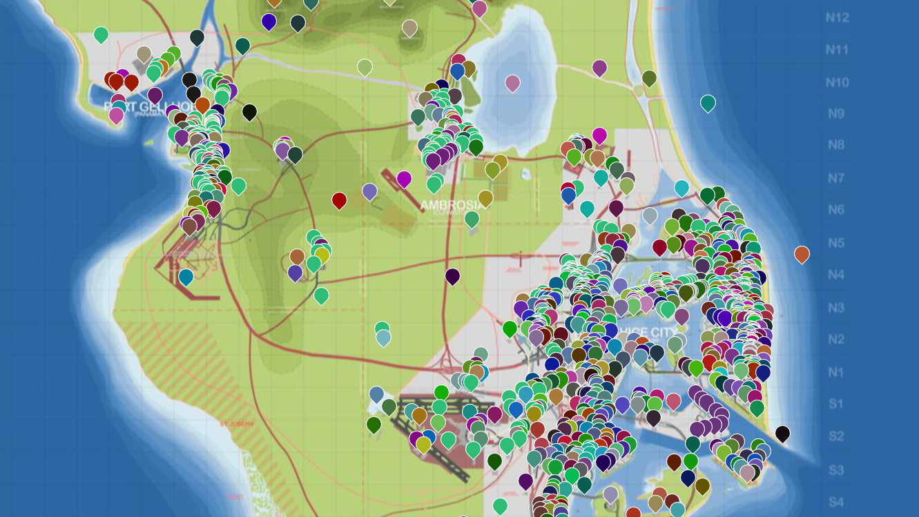
The process is methodical. Contributors pull individual frames from the official trailers and screenshots, compare them to Google Street View imagery (typically set to around 2015, when Rockstar’s scouting trips are believed to have happened), and pin each match to a working map. Architecture, billboard fonts, road geometry, palm placement, and even cloud shapes have all been used as reference points.
The maps fans are actually using
Two main outputs anchor the project right now, plus a 3D viewer that arrived more recently.
| Map | Maintainer | What it shows |
|---|---|---|
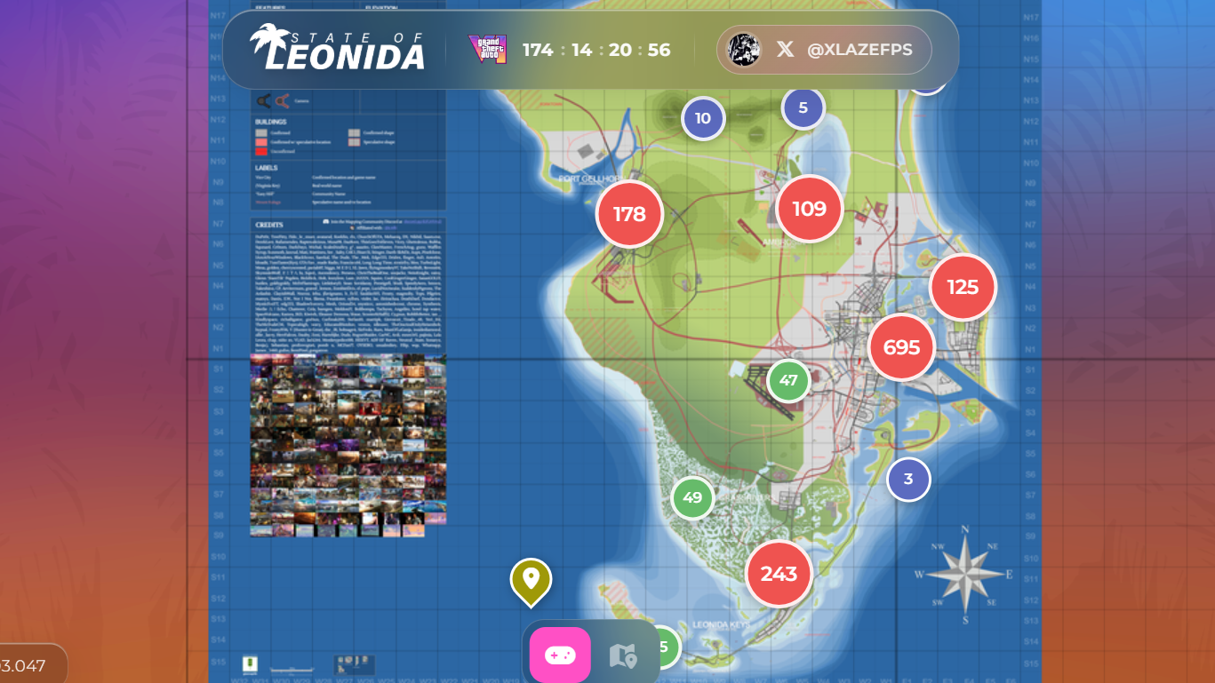
| YANIS v11 | Community (hosted on GTADB) | The current community map render, with neighborhoods, roads, and confirmed landmarks across Leonida. |
| Landmarks map | lxr | Interactive pin map at map.gtadb.org showing every identified real-life building or location. |
| VIMAP | Saam.exe | A polished community render at vimap.saamexe.com tracking speculative names and districts. |
| gtamaplib-vc (3D) | Robert Luxemburg | Open-source 3D tour with a low-poly plane you can fly across the reconstructed map. |
The YANIS v11 revision added the Vice Beach parking lot, extended the urban grid down toward Hamlet, dropped in a speculative pin for Club Space, and corrected the layout around Brains’s Marina Workshop, among other fixes. New revisions ship regularly as fans pick apart each newly released screenshot.
The geography that’s been confirmed
Rockstar has officially named the state of Leonida and confirmed Vice City as its largest urban area. Beyond that, signage and postcard art in promotional materials have given the community a working list of counties and regions to slot into the map.
| Region | Inspiration | Notable locations |
|---|---|---|
| Vice-Dale County | Miami-Dade County | Vice City, Vice Beach, Ocean Beach, Little Haiti, Little Havana, Leaf Links, VC Port, Vice City International Airport |
| Leonard County | Broward / surrounding area | Waning Sands |
| Ambrosia County | Inland sugar country | Ambrosia, Lake Leonida, Allied Crystal refinery |
| Kelly County | Northwest Leonida | Confirmed via road signs; specific towns not yet detailed |
| Grassrivers | Everglades | Swampland, airboats, alligators |
| Leonida Keys | Florida Keys | Island chain extending south |
| Mount Kalaga National Park | North Florida wilderness | Protected national park area |
Port Gellhorn has also appeared on police vehicles, suggesting a separate jurisdiction somewhere on the map. The Allied Crystal sugar refinery anchors Ambrosia, framed in Rockstar’s own postcard art as the industrial heart of inland Leonida.
How specific landmarks get pinned
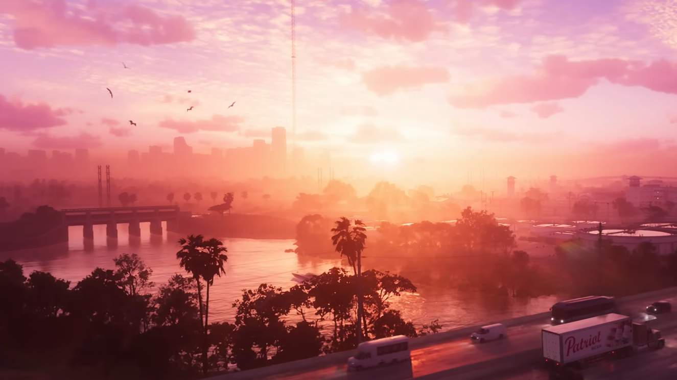
Most identifications come from matching visual silhouettes to real Miami buildings. The 500 Brickell twin condo towers, with their distinctive connected roof and circular cutout, appear in the opening montage of the first trailer. The Kaseya Center basketball arena shows up in the background of the woman waving from a convertible. Port Vice City stands in for PortMiami, and the Wynwood-style painted mural district is visible in a brief street shot.
One early find that helped set the methodology: Fido_le_muet identified a domed church seen near a metro station as Iglesia San Juan Bosco on West Flagler Street, near LoanDepot Stadium. That kind of single-frame pin, cross-referenced against Street View imagery from a decade ago, is now the standard contribution unit on the project’s Discord.
The 3D flythrough
The newest layer is a full 3D reconstruction by Robert Luxemburg, who turned the community map into an open-source project called gtamaplib-vc. You can clone it from GitHub and run a browser-based tour that overlays trailer screenshots onto their pinned locations. There’s also an interactive mode that lets you pilot a low-poly aircraft across the reconstructed terrain to get a sense of scale.
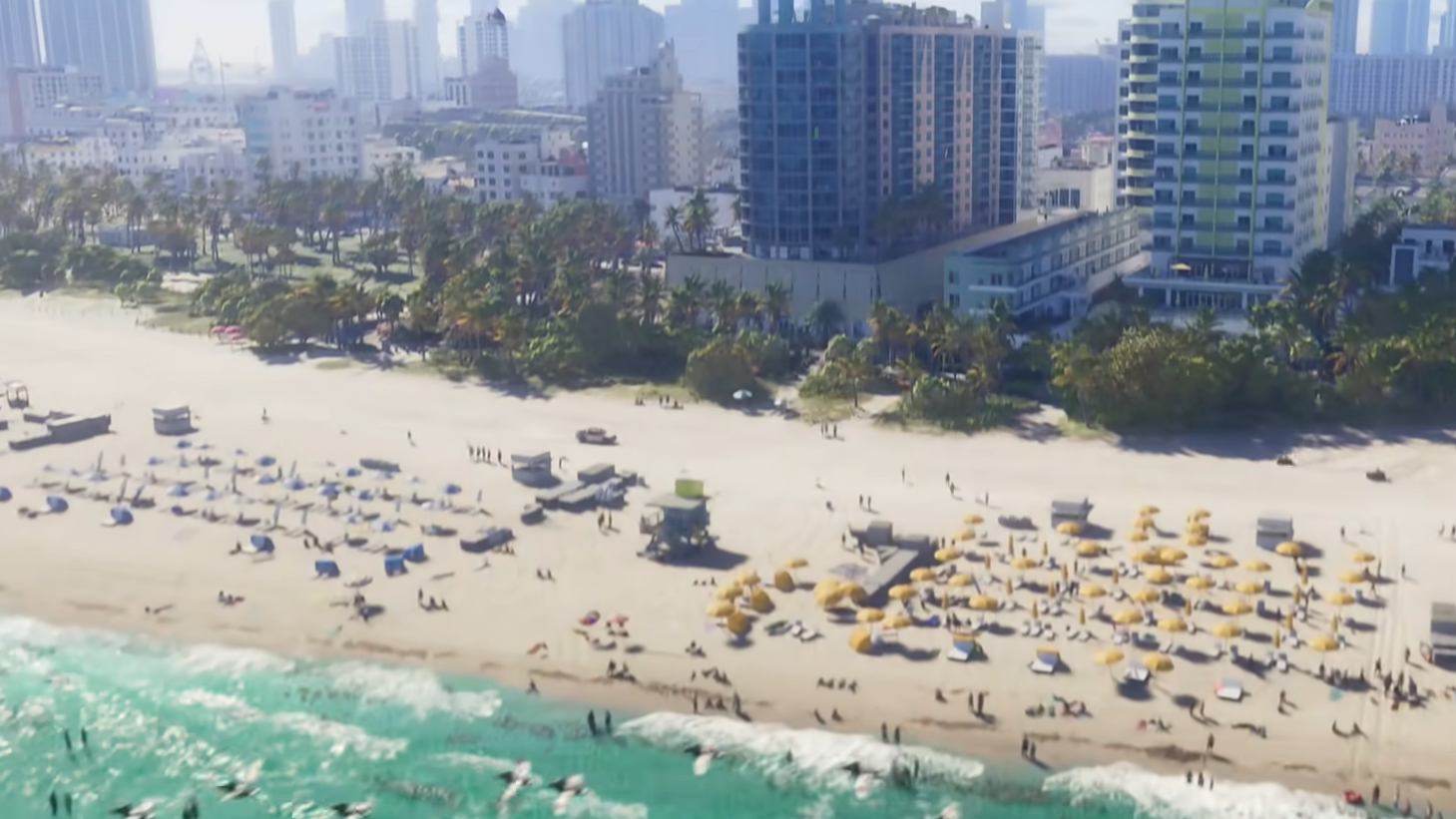
Scale is the part that keeps surprising people. Community estimates put the GTA 6 map at roughly twice the size of GTA 5’s, with a far denser urban core. A widely shared skyline comparison on Reddit pointed out that Vice City already appears to have significantly more high-rise buildings than Los Santos, which is more a reflection of real Miami’s denser skyline than any limitation of the older game.
What’s still speculative
Plenty of the names on community maps are placeholders. District labels in the inland and northwestern parts of Leonida are guesses based on road signs glimpsed for a few frames. The exact boundaries between counties are inferred from naming patterns Rockstar used in GTA 5, where county designations tracked geographic shifts rather than just city limits.
Large stretches of the map also remain blank because no footage covers them. The project’s maintainers have been explicit that empty space means missing evidence, not confirmed wilderness. A third trailer, which Take-Two has indicated will arrive as part of the GTA 6 summer marketing push, would likely fill in significant gaps before the game’s November 19, 2026, release.
Why this works
Rockstar’s open worlds have always borrowed heavily from real geography, and the studio’s scouting passes are documented enough that the community can retrace them. The GTA 5 mapping project on GTAForums correctly identified large portions of Los Santos years before launch, using the same techniques being applied to Vice City now. That track record is why the YANIS renders and the gtamaplib-vc flythrough are being taken seriously rather than dismissed as fan art.
Whether the final map matches the community version street-for-street will only be settled at launch. Until then, the project is the closest thing to a working atlas of Leonida that exists outside Rockstar’s offices.