Hell Let Loose: Vietnam ships with six maps, and they are not just old European battlefields painted green. Each one is built around a decisive moment of the Vietnam War, with jungle, rice paddies, beaches, hills, and river networks that force very different tactics. Rivers run through every theatre, so both the US Armed Forces and the North Vietnamese Army rely on boats, while helicopters and tunnel systems change how each side moves.
Quick answer: The six launch maps are Vạn Tường, Cam Ranh Port, Quảng Ngãi, Huế Outskirts, Đắk Tô Airfield, and Thanh Hóa Bridge. More locations arrive later through updates.
The six launch maps at a look
| Map | Real-world basis | Defining terrain |
|---|---|---|
| Vạn Tường | Operation Starlite | Villages, dense jungle, a river system |
| Cam Ranh Port | Cam Ranh Bay Logistics Facility | Docks, military zone, coastal waterways |
| Quảng Ngãi | Operation Piranha | Flooded zones, cliffs, caves |
| Huế Outskirts | The Tet Offensive at Huế | Terraced farms, mountains, urban blocks |
| Đắk Tô Airfield | The Battle of Đắk Tô | Open runway, debris, craters |
| Thanh Hóa Bridge | The Dragon’s Jaw crossing | Bridge chokepoints, freight yards, peaks |
River and coastal maps where boats decide the fight
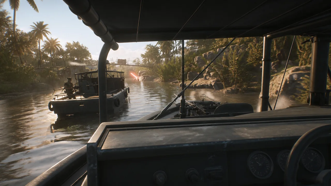
Two theatres put the waterways at the center of every match. On these maps, controlling the rivers often means controlling resupply and flanking routes, so patrol boats are far more than transport.
Vạn Tường is drawn from Operation Starlite, the amphibious assault where US forces landed to counter an attack near the coastal base at Chu Lai. It mixes small villages with thick jungle, and a river system runs through the map. You can move by boat to reposition quickly or slip behind an enemy line that expects you on foot.
Cam Ranh Port returns to the coast around the Cam Ranh Bay Logistics Facility, a heavily used air and supply base. Fighting swings between the port’s military zone, supply docks, dried riverbeds, and sand dunes. Boat battles on the southern waterway sit right next to close, house-to-house combat inside the industrial halls.
Rough terrain and vertical fights
Two maps trade clean lines of sight for punishing height differences and natural traps. Expect to fight uphill, wade through water, and clear tight spaces.
Quảng Ngãi follows Operation Piranha, where US units cut off retreating North Vietnamese forces at the Batangan Peninsula. The map keeps the jungle backdrop but layers in flooded ground, cliffs, and cave systems. Typhoon mud and open lowlands sit below high ground, so anyone caught standing in water can be shelled from the cliffs above.
Huế Outskirts is inspired by the Tet Offensive push to capture Huế in South Vietnam. Terraced farms and mountainous ground give the map strong verticality, and waterways thread through the jungle. Combat shifts between industrial complexes and cramped urban blocks, so fights feel tight and close by design.
Open ground and chokepoint maps
The last two theatres break away from dense cover and reward discipline over rushing. Wide sightlines and forced bottlenecks put a premium on suppression, spacing, and squad timing.
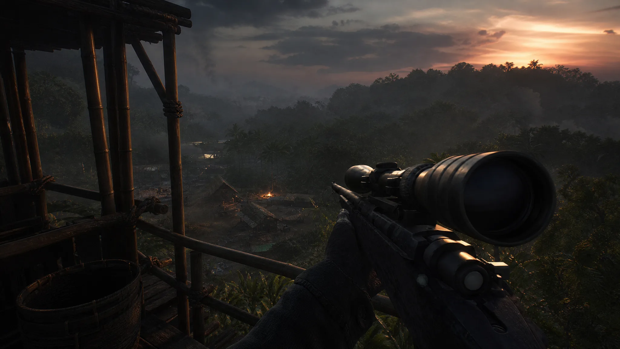
Đắk Tô Airfield recreates the attack on a US air base in the central highlands. The action centers on a large runway scarred with debris and craters, and those craters are your only real cover. With so much open gravel, sprinting straight across is a fast way to die, and tanks and recon dominate the clear lines of fire.
Thanh Hóa Bridge is built around the famous Dragon’s Jaw crossing. River crossings and freight yards create merciless chokepoints that demand close-quarters fighting, while the surrounding peaks give snipers strong overwatch positions. It is a map of pinch points, and holding or breaking one can decide the round.
More maps after launch
Six maps form the starting lineup, and additional locations are set to arrive with post-launch updates. They are not exact recreations of real battlefields but are shaped by the decisive operations that inspired them, which is why the terrain feels tied to the history each theatre represents.
Between amphibious river maps, flooded highlands, and wide-open runways, the launch rotation asks for a different plan every time you deploy. Learn which maps favor boats, which reward high ground, and which force you into chokepoints, and you will know how to move before the first artillery lands.