Grand Theft Auto 6 trades Los Santos for Leonida, a fictional take on Florida that stretches from a neon coastal metropolis to swamps, a decaying port town, sugar country, and a national park on the northern border. Rockstar has named six major regions outright, and trailers, screenshots, and the extended gameplay footage have filled in dozens of smaller districts, roads, and businesses on top of that. Everything here comes from pre-release material, so exact borders and labels can still shift.
Quick answer: The map is the State of Leonida, and the six officially named regions are Vice City, the Leonida Keys, the Grassrivers, Port Gellhorn, Ambrosia, and Mount Kalaga National Park.
The six named regions of Leonida
These six are the backbone of the map. Each one was named in Rockstar’s own screenshot drop and given a short description, and each has a clearly different look, economy, and set of activities.
| Region | Real-world basis | What defines it |
|---|---|---|
| Vice City | Miami | Art deco beachfronts, nightlife strips, a glass-tower downtown, canals, and the cruise-heavy VC Port |
| Leonida Keys | Florida Keys | Bridge-linked tropical islands south of the city; Jason and Lucia’s starting apartment sits here |
| Grassrivers | Everglades | Mangroves, flooded plains, gators, and airboats as a dedicated vehicle class |
| Port Gellhorn | Panama City Beach | Leonida’s “forgotten coast” of cheap motels, dead attractions, a working port, and dirt bikes |
| Ambrosia | Central Florida industry | The Allied Crystal sugar refinery, freight infrastructure, and a local biker gang |
| Mount Kalaga National Park | North Florida and Providence Canyon, Georgia | Forests, canyons, and rivers on the northern border; hunting, fishing, kayaking, off-roading |
The second trailer is where most of this landed at once, including the confirmation that the protagonists start out in the Keys rather than in Vice City itself.
Vice City districts and neighborhoods
Vice City is the densest part of the map and the one with the most identified sub-areas. Some names come from the trailers and official screenshots, others were shown on screen during the extended gameplay footage.
| Area | Notes |
|---|---|
| Ocean Beach | Pastel art deco hotels and white sand; the Ocean Drive analogue and the crowded beach from the first trailer |
| South Beach | The main neon nightlife strip, with the busiest bar and hotel rows |
| Washington Beach | Beachfront district named on screen during gameplay |
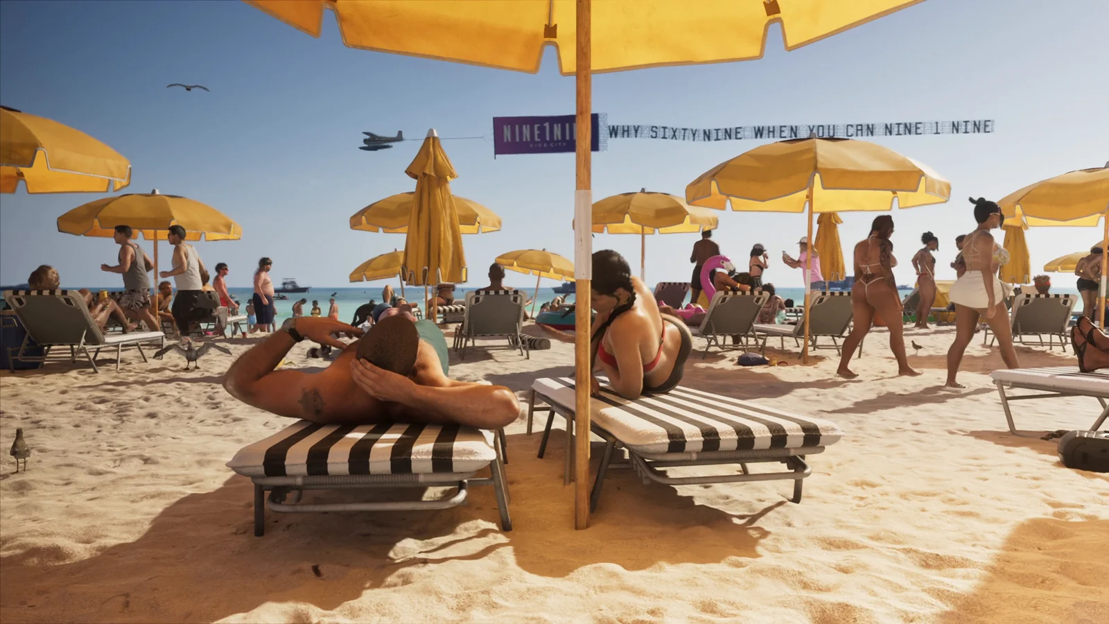
| Vice Beach | Barrier island linked to the mainland by causeway; jet skis, yellow umbrellas, banner planes |
| Downtown | Financial core of glass towers, elevated highways, and construction cranes |
| Little Cuba / Little Havana | Panaderías and Cuban-American storefronts |
| La Perle / Little Haiti | Haitian-themed murals and street-level gang activity |
| Stockyard | Wynwood-style arts district with large murals and a car meet in the first trailer |
| Bayside | Named on screen in the gameplay reveal |
| Rialto Islands | Island neighborhood named on screen in the gameplay reveal |
| Vice City Port | Container terminals, warehouses, and industrial bridges |
| Vice City International Airport | The main aviation hub, based on Miami International |
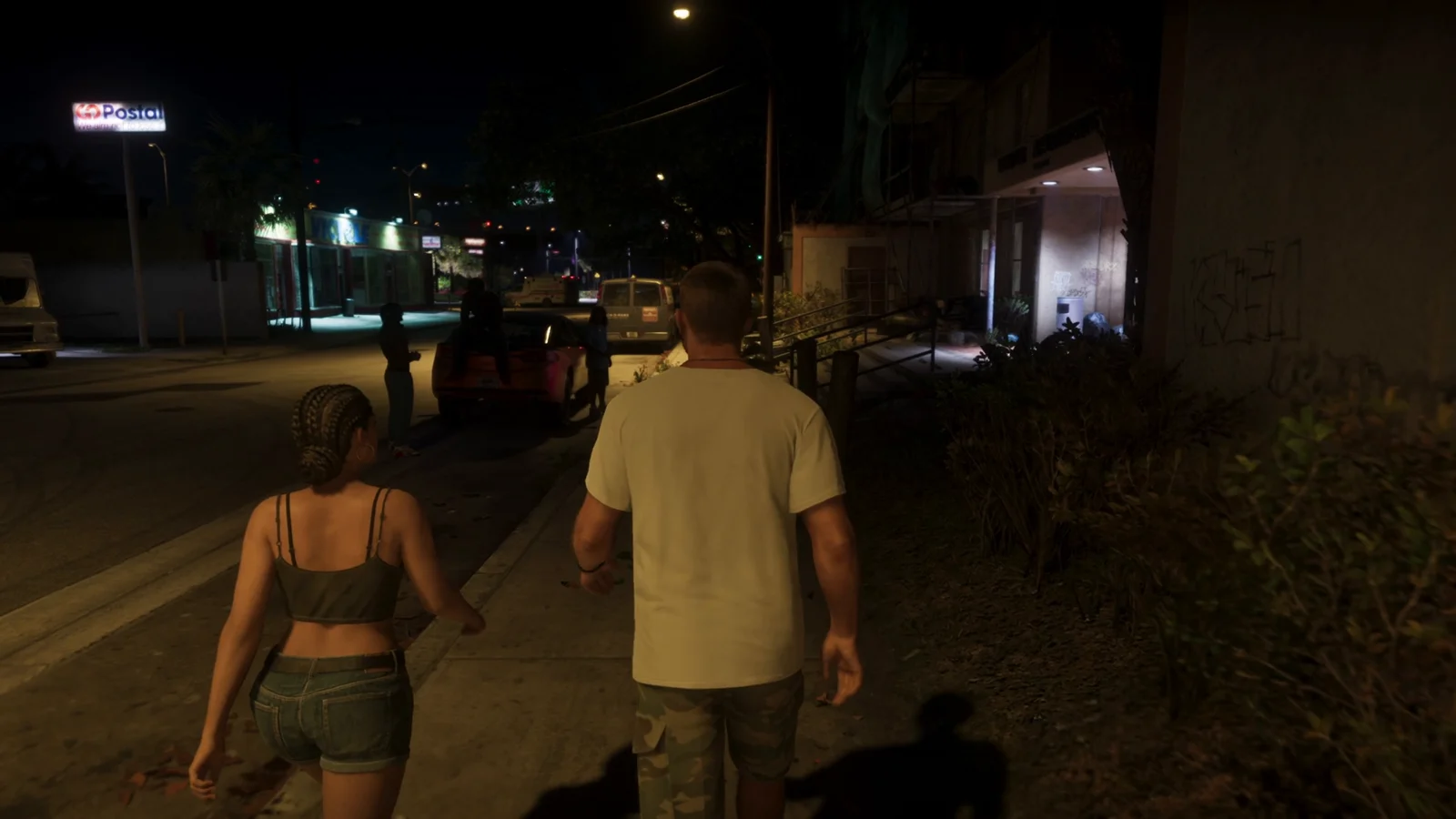
Other Vice-Dale place names that have surfaced include Hamlet, Belville, Crosstown, Rockridge, Leaf Links, the Venetian Islands, Catalan Key, Dalton Island, Gloriana Key, Ekanfinaka, and Tequesta Retreat. Two street names have also been read directly off signage in gameplay footage: Shorefront Ave and Seaview Blvd.
Note: Gloriana appears to be a single key island rather than a separate state, despite earlier speculation about a Gloriana State region.
Named buildings and landmarks shown so far
The extended gameplay footage put actual signage on a batch of interiors and street-level businesses. These are the specific venues that have been shown with names attached.
| Venue | What it is |
|---|---|
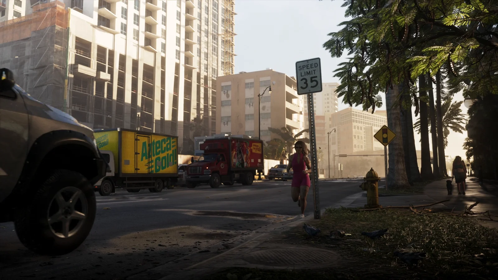
| Victory Arms | Housing project apartments seen in the opening sequence at night |
| Megamundo Tower | Corporate headquarters with a Floor 26 and a penthouse conference level |
| Effluvia | Rooftop lounge |
| Jack of Hearts | Nightclub |
| Hank’s Waffles | Diner |
| Hotel Dixon | Neon-signed hotel on the night beach strip |
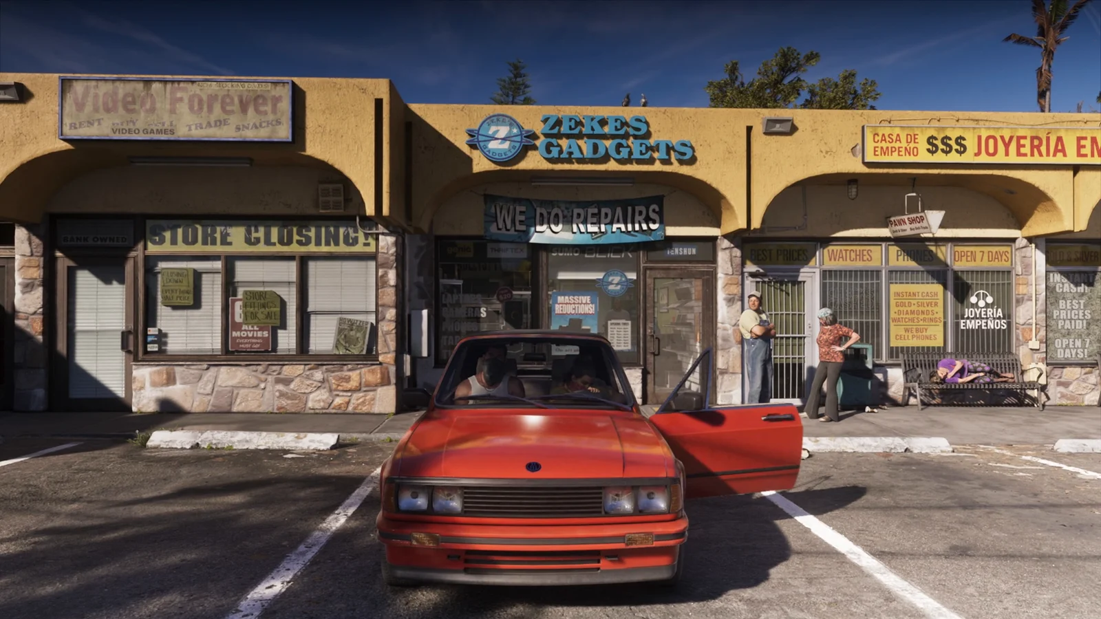
| Zeke’s Gadgets | Pawn shop on a strip that also includes a joyería |
| A1 Fashions / Mami’s Market | Corner storefronts advertising “food by the pound” |
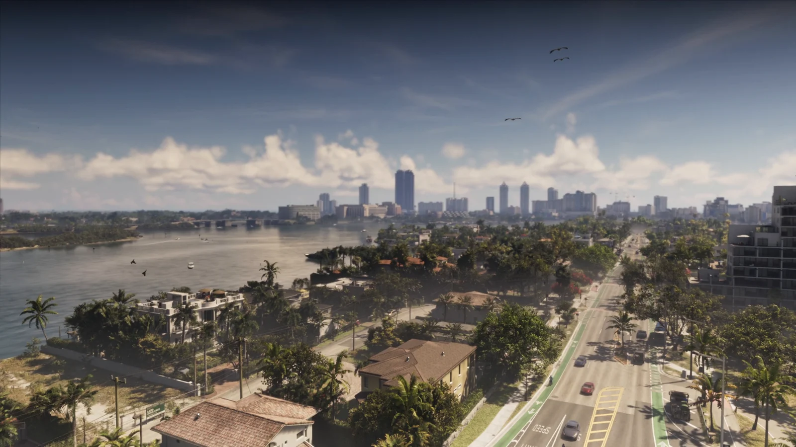
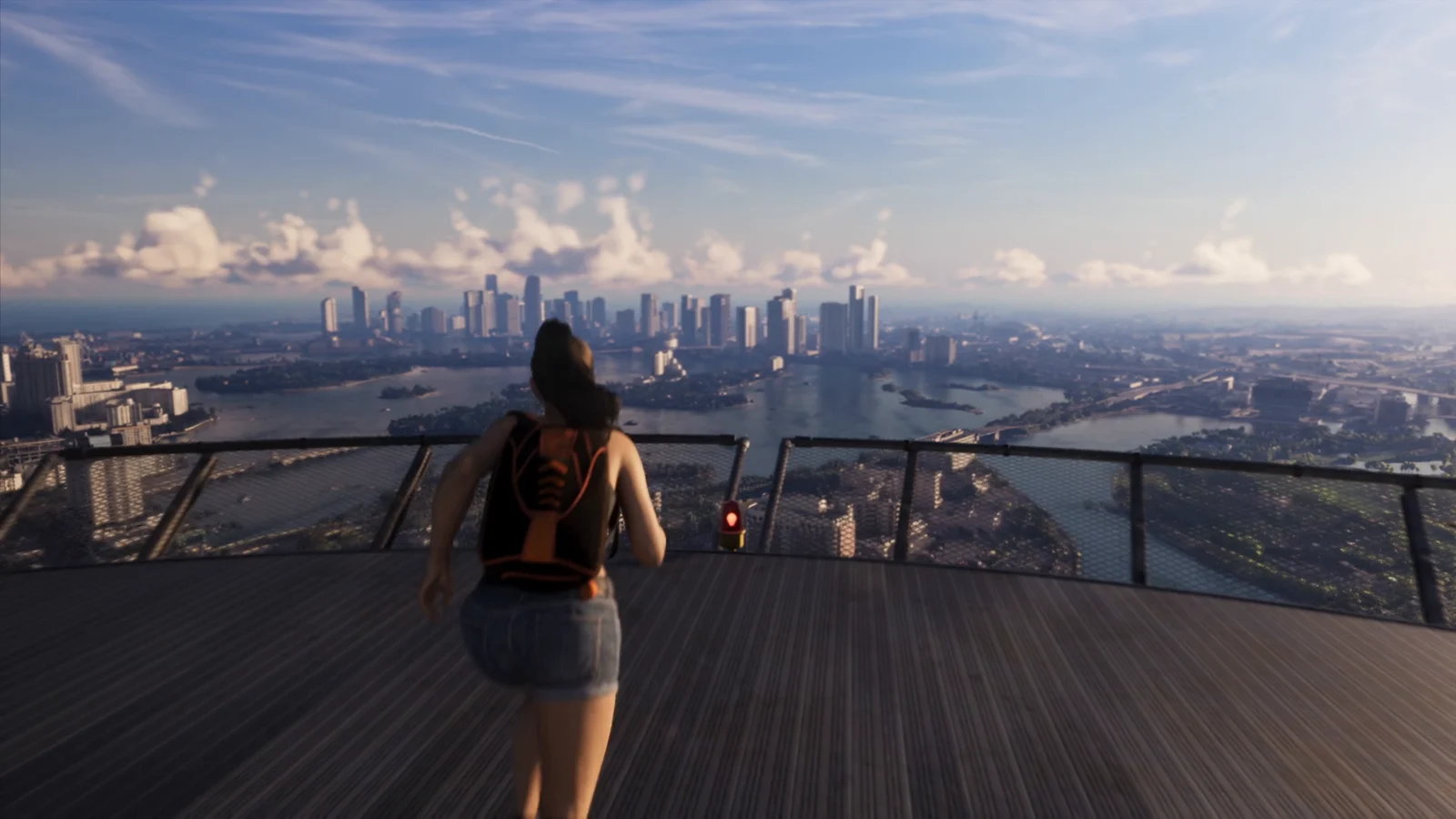
Elsewhere on the map, confirmed points of interest include the Tisha-Wocka flea market near South Beach, the Vice City Metro station, a football stadium, a large amphitheater, tennis courts, and Leonida Penitentiary, the prison Lucia is held in when the story opens. A causeway crossing the bay between the island neighborhoods and the downtown skyline is also visible in aerial shots, and a tower observation deck overlooking the bay doubles as a skydiving launch point.
How Leonida is divided into counties
Above the region level, the state is broken into counties, most of them identified through road signs, police liveries, and sheriff’s office branding.
| County | Rough position | Key locations |
|---|---|---|
| Vice-Dale | South east | Vice City (county seat), Vice Beach, Ocean Beach, the port, the airport |
| Leonard | North east | Waning Sands |
| Ambrosia | Central | Ambrosia, Lake Leonida |
| Kelly | North west | Port Gellhorn |
| Mariana | South west | Grassrivers, Leonida Keys, Key Lento, Watson Bay, Capri |
| Lummox | North | Mount Kalaga National Park |
County boundaries are the least settled part of the picture. Vice-Dale is consistently the south-eastern anchor, but placements for Leonard and Ambrosia vary between mapping efforts, and one highway sign in the gameplay footage points toward Ambrosia while marking Leonard County. Lummox has only turned up in leaked material rather than official releases.
Map size and enterable interiors
Rockstar has not published a figure in square kilometers, only the claim that this is the largest world it has built. Community measurement work lands somewhere between 1.5x and 2x the size of GTA 5’s map, with 1.7x a commonly cited midpoint. Vice City on its own is estimated at two to three times the footprint of Los Santos.
Density matters more than raw area here. More than 700 enterable interiors have been reported across the state, covering nightclubs, strip clubs, motels, restaurants, pawn shops, supermarkets, fast food, and gun stores, with functional elevators in multi-story buildings. Underwater areas are explorable, and there is a working tram that stops at the airport.
Outside the cities: swamps, hills, and wildlife
Past the built-up coast, the map opens into an Everglades-style swamp with airboats and wildlife, plus scrubland hills carrying a dirt motocross track. Ambrosia itself has been shown as a small town with a water tower and a W. Blanco’s Cuban Foods mural, sitting among sugar fields.
An in-game wildlife chart lists alligators, boars, dogs, snakes, raccoons, birds, frogs, bobcats, and rodents, with separate symbols for plants and toxic waste. Mount Kalaga adds deer, cougars, and foxes to that mix.
What is still unconfirmed
A full map of Leonida circulated online on August 18, 2026 alongside leaked footage, and Take-Two has issued takedown requests against copies of that material. The map is reportedly pulled from an older internal development build, which means counties, borders, and town names in it may not match the shipping game. Rockstar has not released an official map image or an interactive map tool.
Treat anything outside the six named regions and the Vice City districts shown in official footage as provisional. Names that only appear in leaks, including Lummox County and various smaller settlements, are the most likely to change.
What is solid is the shape of the thing: one dense modern Miami, a second smaller city on a run-down coast, an island chain, a swamp, sugar country, and a national park, all stitched into a single state that is comfortably bigger than anything Rockstar has shipped before.
More GTA 6 guides
- GTA 6 guides hub: every system and trick we know
- GTA 6 Activities and Minigames: Everything You Can Do in Leonida
- GTA 6 Vehicle List: Every Car, Bike, and Boat Confirmed for Leonida
- GTA 6 Livestreams Explained: How the In-World Streamer Overlay Works
- GTA 6 Robberies: How Store, Diner and Jewelry Heists Work
- Every GTA 6 Mechanic That Works Differently From GTA 5